The assessment and management of soil fertility using GIS and remote sensing
Keywords:
Soil Fertility, EOS Crop Data, NDVI, NDRE indices, Imishli DistrictAbstract
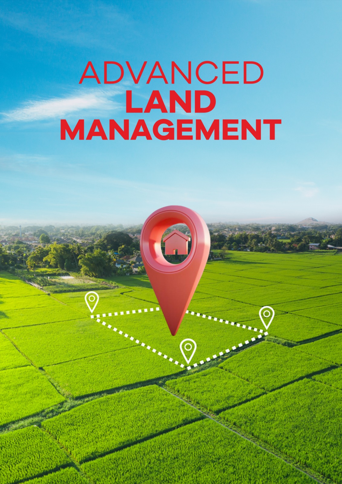
Geoinformation technologies are deeply rooted in all spheres of human activity, including agriculture. The efficiency rate of agricultural areas can be remarkably increased by utilizing efficient agricultural production technology such as remote sensing and Geographic Information Systems (GIS). Analyzing soil data through GIS helps in agricultural planning and facilitates quick and appropriate decisions on soil fertility and land use management. GIS technologies make it possible to manage soil fertility and crop quality to the level of farms and even private subsidiary farms. Soil fertility assessment, field monitoring, yield forecasting, proper farming, soil fertility management include not only soil data collection and analysis, but also spatial information collection. With the help of global positioning systems (GPS), it is possible to accurately determine the location on the ground of each plot, as well as to follow the development of crops from sowing to harvesting, to detect moisture and nutrient deficiencies in time, and to identify plant diseases. A well-known example is the vegetation indices Normalized Difference Vegetation Index (NDVI) and Normalized Difference Red Edge Index (NDRE) which could be provided by the EOS Crop Monitoring Company to assess much information on soil fertility in agricultural areas. Vegetation indices provide data on crop growth and health and can be used to monitor crop development from sowing to harvesting, timely detection of moisture and nutrient deficiencies, and detection of plant diseases. Within agricultural fields, GIS technologies are effectively used to apply fertilizers to the soil at certain rates according to the condition of the site, as well as for the correct organization of irrigation. The study area is located in the Imishli district of the Central Aran economic region of the Republic of Azerbaijan, which is regarded as an important agriculture site in the region recognizing cotton and grain growing spots. Accordingly, a few well-known indices such as normalized difference vegetation index - NDVI, and normalized difference red edge – NDRE, were step-wisely applied in the assessment of soil fertility in the region by processing EOSDA LandViewer-derived high-resolution imagery inside the ArcGIS functionality. These indices could be used in agricultural planning, particularly soil fertilizers with some standards by the condition of the site, as well as for the proper organization of irrigation.
References
1. Eminov, Z. N. (2011). Changes in the demographic situation in Azerbaijan. Actual problems of humanities and natural sciences. Moscow, 1, 95-100.
2. Huseynov, R. (2019). Multidimensional determinants of national food security in Azerbaijan: An application of the ARDL approach. Problems of World Agriculture/Problemy Rolnictwa Światowego, 19(1827-2020-146), 58-68. https://doi.org/10.22004/ag.econ.300088
3. Imanov, F. A., Hasanova, N. I., & Guliyeva, A. A. (2016). Assessment of dynamics of water resources change in local rivers of Azerbaijan. News of the Azerbaijani National Academy of Sciences, Earth Sciences, 3-4, 89-92.
4. Makhmudov, R. N. (2016). Regional climate changes and river runoff in Azerbaijan. Russian Meteorology and Hydrology, 41(9), 635-639. https://doi.org/10.3103/S1068373916090065
5. Niftiyev, I. (2020). Determinants of the agricultural exports in Azerbaijan. http://dx.doi.org/10.2139/ssrn.3686701.
6. Meroni, M., Waldner, F., Seguini, L., Kerdiles, H., & Rembold, F. (2021). Yield forecasting with machine learning and small data: What gains for grains?. Agricultural and Forest Meteorology, 308-309, 108555. https://doi.org/10.1016/j.agrformet.2021.108555
7. Motomiya, A. V. D. A., Molin, J. P., Motomiya, W. R., & Rojo Baio, F. H. (2012). Mapeamento do índice de vegetação da diferença normalizada em lavoura de algodão. Pesquisa Agropecuária Tropical, 42, 112-118. https://doi.org/10.1590/S1983-40632012000100016
8. Dedeoğlu, M., Başayiğit, L., Yüksel, M., & Kaya, F. (2020). Assessment of the vegetation indices on Sentinel-2A images for predicting the soil productivity potential in Bursa, Turkey. Environmental Monitoring and Assessment, 192, 1-16. https://doi.org/10.1007/s10661-019-7989-8
9. Nikonorova, I. V., Gumenyuk, A. E., & Pivovarov, I. A. (2021) Assessment of the fertility state of agricultural areas with the use of GIS technologies. Advances in Current Natural Sciences, 12, 173-178. https://doi.org/10.17513/use. 37755
10. https://eos.com/products/landviewer/
11. Sh, M. G. (2007). Social, economic and ecological bases of effective use of land resources of Azerbaijan. Elm “, Baku, 854.
12. Orujova, R.N. (2022). Briefly about the emergence of anthropogenic land transformation in Azerbaijan; types and characteristics of anthropogenic impacts. Agrarian Science, 1,78-82. https://doi.org/10.32634/0869-8155-2022-355-1-78-82
13. Mammadov, R.M., & Abduyev, M.A. (2018). Formation of river water resources of Azerbaijan, their hydrochemical analysis to assess environmental suitability. Water Economy of Russia, 2. 19-34. https://doi.org/10.35567/1999-4508-2018-2-2
14. Alizade, E. K., & Tarikhazer, S. A. (2015). Geography of the Republic of Azerbaijan. III. "Regional geography". Baku, 230-264.
15. Nuriyeva, К. G. (2017). Contemporary condition of the irrigative soils in the Kur-Araz lowland of Azerbaıjan. Bulletin of Kurgan State Agricultural Academy, 3, 42-44
16. Sh, M. G., & Heydarova, R. M. (2016). Soil mapping of the Mil plain of Azerbaijan Based on the aerospace materials.“. Global Journal of Agricultural Research”. European-American Journal, 4(6), 7-12.
17. https://crop-monitoring.eos.com
18. https://www.esri.com/en-us/arcgis/products/arcgis-pro
19. Rasouli, A. A., Sh, M. G., & Asgarova, M. M. (2021). Mastering spatial data analysis inside the GIS setting. Elm. Baku, 2021a, 396.
21. Homolová, L., Malenovský, Z., Clevers, J. G., García-Santos, G., & Schaepman, M. E. (2013). Review of optical-based remote sensing for plant trait mapping. Ecological Complexity, 15, 1-16. https://doi.org/10.1016/j.ecocom.2013.06.003
22. https://eos.com/ru/blog/vegetaczionnye-indeksy/
23. Lillesand, T., Kiefer, R. W., & Chipman, J. (2015). Remote sensing and image interpretation. 5th Edition, John Wiley & Sons.
24. Asgarova, M. (2023). Vegetation indices in the assessment and management of soil fertility. Intercontinental Geoinformation Days, 6, 270-273.
Downloads
Published
Issue
Section
License
Copyright (c) 2023 Matanat Asgarova (Author)

This work is licensed under a Creative Commons Attribution 4.0 International License.